
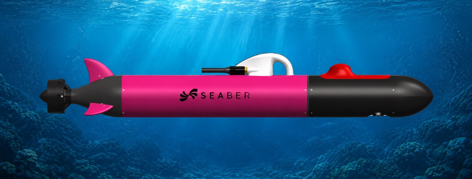
YUCO-CTD
Salinity & temperature monitoring
Captures accurate water-column readings, with an optional navigation upgrade that holds a steady course and safe altitude above the seabed.
Lightweight and easy to deploy — built for field teams who need fast, reliable results without heavy logistics.
Captures accurate water-column readings, with an optional navigation upgrade that holds a steady course and safe altitude above the seabed.
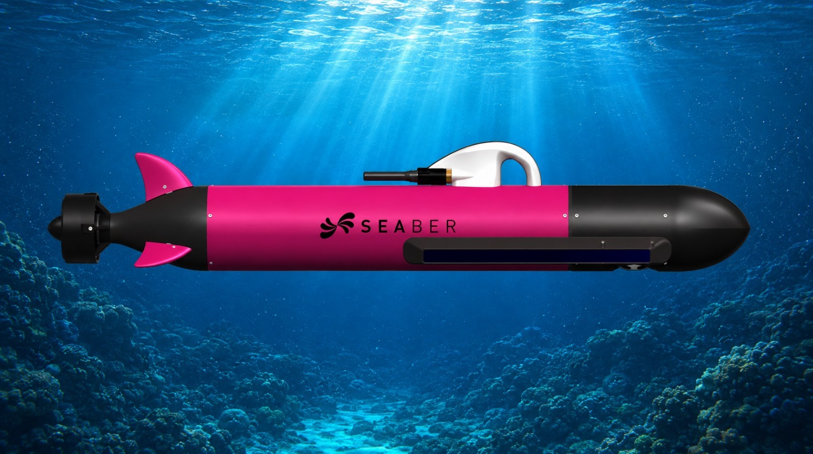
Produces clear seabed imagery to support survey and exploration work, with an optional camera and light kit for colour footage of the dive.
Equipped with underwater acoustic positioning and communication, these vehicles run bathymetry and seabed mapping missions at scale, with full confidence.
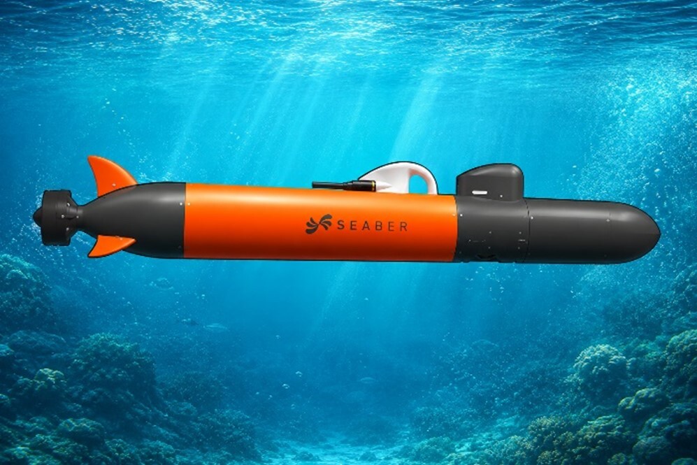
Builds an accurate 3D model of the seafloor with high imaging quality — suited to research and marine engineering projects that need real three-dimensional detail.
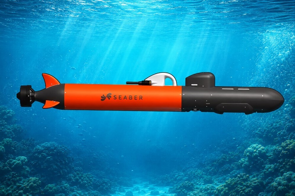
Covers wide areas of seabed quickly and efficiently with multibeam sonar — a strong fit for large-scale hydrographic survey projects.